
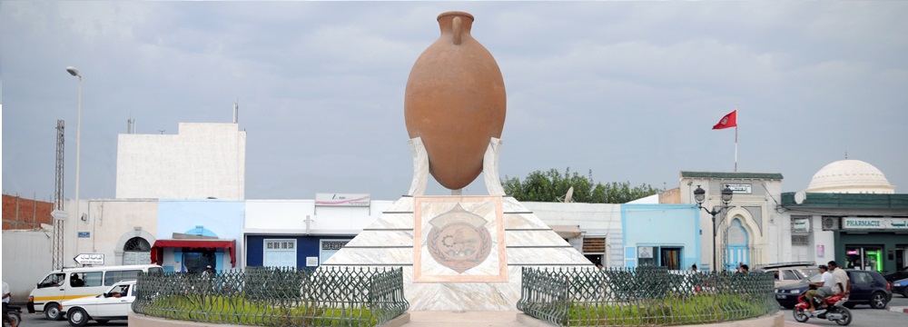


The city of Moknine is located in the center of the eastern Sahel in Tunisia on the road n ° 82 which connects Sousse to Mahdia. It is bordered to the east by the Sebkha of Moknine, Teboulba and Bekalta, to the west by Touza and Beni Hassen, to the North by Ksar Hellal, and to the South by Menzil Farsi and Sidi Bennour.
Its communal area is 1549 hectares. Moknine is connected to the other regions of Tunisia by several roads, a railroad to the west reserved for the transport of goods, the light railway that connects Sousse to Mahdia passing by Monastir, Moknine and other towns and villages of Eastern Sahel of Tunisia.

light railway
Moknine is part of the Bas Sahel since the average altitude is less than 10m above the sea. At the intersection of Moknine / Ksar Hellal road of Jemmal near brickyards the altitude is 5.706m.
At the station: 3,847m, near Zaouet Sidi Ameur Elmzoughi street Farhat Hached: 1,464m; And at the intersection of the street Farhat Hached and the street Abdelaziz Ethaalby: 1,126m.
Moknine enjoys a Mediterranean climate with irrigated rainfall.2km only separate the city from the sea. It has a temperate climate.
Most of the soil is of the "Hmari" type suitable for crops. There is also a clayey soil especially in the west and a rocky soil "hmada" for example Hmadat Bacha, Hmadat Gribaâ, Hmadat Chayah, Hmadat Omkhoz.
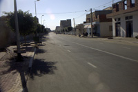
Jammel Road
The town of Moknine is surrounded by olive groves, fields, orchards ....
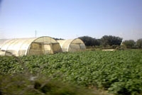
Irrigated areas of Moknine


